Mapa


Pokaż Istebna around the world! na większej mapie

29.04.2014

Cape Verde

SANTIAGO

Zdjęcie zrobione na największej wyspie w tym kraju. W pobliżu stolicy Wysp Zielonego Przylądka - miasta Praia. Zdjęcie wykonane na lotnisku, które w roku 2012 otrzymało imię Nelsona Mandeli.

Photo taken on the largest island in the country. Near the capital of Cape Verde - Praia city. Photo taken at the airport, who in 2012 received the name of Nelson Mandela.


Przysłała Emilia Wojciechowska
Sent by Emilia Wojciechowska
blog  Byle Naprzód
Facebook fan page


SAO NICOLAU

Dzisiaj zdjęcia aż z Republiki Zielonego Przylądka. Jest to państwo wyspiarskie położone Oceanie Atlantyckim około 620 km na zachód od wybrzeży Afryki. Archipelag składa się z 10 większych i 16 mniejszych wyspek. Nasze zdjęcia pochodzą z wyspy Sao Nicolau.


Today pictures from Cape Verde (Cabo Verde). Officially the Republic of Cape Verde, is an island country, spanning an archipelago of 10 large islands and 16 smaller located in the central Atlantic Ocean, about 620 kilometres (350 miles) off the coast of Western Africa. Our photos were taken in the Sao Nicolau island.


Zdjęcia przysłała nam Emilia Wojciechowska, mieszkająca na Wyspach Zielonego Przylądka i pisząca bloga  Byle Naprzód


Pictures sent us Emilia Wojciechowska, who lives in Cape Verde and writing blog Byle Naprzód


O naszej akcji napisała TUTAJ

About our action she wrote HERE


FOGO

Fogo to kolejna wyspa wchodząca w skład Wysp Zielonego Przylądka. Na niej znajduje się najwyższy szczyt kraju - Pico 2829 m npm. Niestety tutaj na zdjęciach schowany za chmurami.

Fogo is another island being a part of the Cape Verde Islands. On it is the highest peak in the country - Pico 2829 m above sea level. Unfortunately, here in the pictures hidden behind the clouds.


Są to kolejne zdjęcia od Emilii Wojciechowskiej - Byle Naprzód
These are next photos sent by Emilia Wojciechowska - Byle Naprzód


BRAVA

Kolejna z wysp archipelagu - tym razem Brava zwana wyspą kwiatów. Jest najbardziej wysuniętą na południowy-zachód spośród wszystkich Wysp Zielonego Przylądka.

Another of the islands - this time Brava called the island of flowers. It is situated at the most south-west of all the Cape Verde.


Przysłała Emilia Wojciechowska
Sent by Emilia Wojciechowska
blog  Byle Naprzód
Facebook fan page


SAO VICENTE

Sao Vicente to wyspa należąca do archipelagu Wysp Zawietrznych, wchodząca w skład Wysp Zielonego Przylądka.

Sao Vicente island  belonging to archipelago the Windward Islands, part of the Cape Verde Islands.


Przysłała Emilia Wojciechowska
Sent by Emilia Wojciechowska
blog  Byle Naprzód

28.04.2014

Croatia

KRKA NATIONAL PARK

Park Narodowy Krka położony jest w środkowej Dalmacji. Na terenie parku rzeka Krka tworzy piękne wodospady. Najsłynniejszy z nich to Skradinski Buk widoczny na zdjęciu.

Krka National Park is located in central Dalmatia. A river Krka forms in the park beautiful waterfalls. The most famous of these are Skradinski Buk shown in the picture.


Zdjęcia zrobione podczas naszego pobytu w Chorwacji w lipcu tego roku.

The photos were taken during the stay of our ensemble in Croatia in July 2013.

SPLIT

Miasto i port w chorwackiej Dalmacji, u wybrzeży Adriatyku. Drugie co do wielkości miasto Chorwacji pod względem liczby ludności.

City and port in the Croatian Dalmatian coast of the Adriatic Sea. The second largest city in Croatia in terms of population.


Zdjęcia zostały zrobione podczas pobytu naszego zespołu w Splicie w lipcu tego roku.


The photos were taken during the stay of our ensemble in Split in July 2013.

A to zdjęcie ze Splitu przysłał nam Konrad Kowalczyk.

This picture sent us from Split Konrad Kowalczyk.


SENJ

Chorwackie miasto u wybrzeży Adriatyku.

Croatian city on the Adriatic coast.


Przysłał/Sent by: Konrad Kowalczyk


PUNAT

Punat to miasteczko turystyczne na największej chorwackiej wyspie Krk.

Punat is a tourist town on the largest Croatian island of Krk.


Na zdjęciach Kasia i Marysia z naszego zespołu podczas letniego pobytu z zespołem w Chorwacji.

In the pictures Kasia and Marysia from our ensemble during summer visit in Croatia with our group.


POREC

Porec to chorwackie miasto położone na półwyspie Istria. Miasto jest jednym z największych ośrodków turystycznych w kraju.

Porec is a Croatian city on the peninsula of Istria. The city is one of the biggest tourist destinations in the country.


Zdjęcia zostały zrobione podczas pobytu naszego zespołu na festiwalu w Porecu.

The photos were taken during the stay of our ensemble at the festival in Porec.


KARLOBAG

Pierwsze zdjęcie z Chorwacji! Karlobag to niewielkie miasteczko u wybrzeży Adriatyku, zamieszkałe przez nieco ponad 1000 osób. Zdjęcie przysłał Konrad Kowalczyk.

First photo from Croatia! Karlobag is a small town on the shores of the Adriatic Sea, inhabited by just over 1,000 people. Picture sent by Konrad Kowalczyk.


27.04.2014

Denmark

COPENHAGEN

Stolica Danii! Zdjęcia zrobione w Nyhavn - kanale portowym, najbardziej reprezentacyjnym punkcie miasta. Przy tej ulicy mieszkał Hans Christian Andersen. Na ostatnim zdjęciu słynny budynek Opery Królewskiej.

The capital of Denmark! Pictures taken in Nyhavn - the harbor channel, the most representative point of the city. In this street lived Hans Christian Andersen. On the last picture famous Royal Opera House.


Zdjęcia przysłała/Pictures sent: Karolina Gręda


TYSTRUP

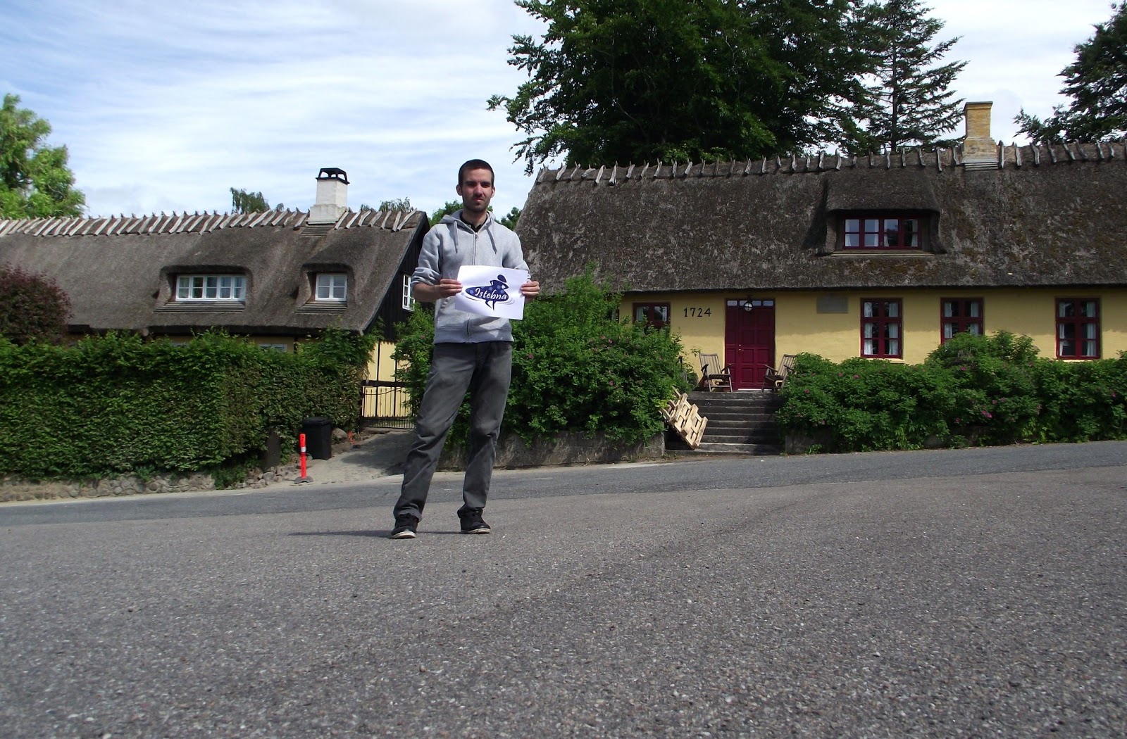
Niewielkie miasteczko Tystrup położone jest w środkowej części wyspy Zelandia - największej wyspy Danii nad jeziorem o takiej samej nazwie - Tystrup.

The small town Tystrup is located in the central part of the island of Zealand - Denmark's largest island, near the lake of the same name - Tystrup.


Przysłane przez/Sent by: András Sásdi

26.04.2014

Paraguay

ASUNCION

Nowy kraj na naszej mapie - Paragwaj! Jedno z dwóch państw Ameryki Południowej nieposiadające dostępu do morza. Zdjęcia zrobione zostały w stolicy - mieście Asuncion, nad rzeką Paragwaj. Jest to największe miasto tego kraju, zamieszkałe przez ponad pół miliona osób.\

New country on our map - Paraguay! One of the two South American countries do not have access to the sea. Pictures taken were in the capital - the city of Asuncion, near the river of Paraguay. It is the largest city in the country, inhabited by more than half a million people.


Przysłał/Sent: Daniel Marek
Facebook - Dzus on tour
Blog - Dzus on tour


25.04.2014

Oman

WAHIBA SANDS


Pustynia w Omanie - popularne miejsce odwiedzin przez turystów. Położona około 180km na południowy wschód od stolicy kraju - Maskatu. Nazwa pustyni pochodzi od plemienia Wahiba, które ją zamieszkuje.

Desert in Oman - a popular place visited by tourists. Located approximately 180km southeast of the capital - Muscat. The name comes from the tribe of desert Wahiba which it resides.


Zdjęcia przysłała/Pictures sent: Agata Pałyska-Hanefioui


ARABIAN ORYX CAMP

Pierwsze zdjęcia z Omanu!! Camping Oryx znajduje się na pustyni Wahiba Sands, w pobliżu miejscowości Bidiya we wschodnim Omanie. Jest to miejsce, gdzie można przenocować na pustyni.


First pictures from Oman! Arabian Oryx Camp is in the desert Wahiba Sands, near Bidiya in eastern Oman. This is the place where you can stay overnight in the desert.


Zdjęcia przysłała/Pictures sent: Agata Pałyska-Hanefioui

23.04.2014

Georgia

GERGETI


W pobliżu wioski Gergeti w północnej Gruzji znajduje się słynny gruziński klasztor Cminda Sameba z XIV wieku. Kościoł położony jest na wysokości 2170 m npm.

Near the village of Gergeti in northern Georgia is famous Georgian monastery Gergeti Trinity Church (Tsminda Sameba) of the fourteenth century. Church is situated at an altitude of 2170 meters above sea level.


Są to kolejne zdjęcia od Agnieszki i Michała.
There are next photos from Agnieszka and Michał.


MOUNT KAZBEK


Widoczny w tle szczyt Kazbek to jeden z najwyższych szczytów Kaukazu, leżący na granicy Gruzji i Rosji. Jego wysokość to 5033 m npm. Zdjęcie zrobione z okolic klasztoru Cminda Sameba.

Visible in the background peak of Mount Kazbek is one of the highest peaks of the Caucasus, lying on the border between Georgia and Russia. Its height is 5033 meters above sea level. Picture taken from the vicinity of the monastery Gergeti.


Zdjęcie od/Picture from: Agnieszka Kierczak i Michał Gretkowski


ATENI SIONI

Ateni Sioni to słynny gruziński kościół położony około 10 km od miasta Gori, w dolinie rzeki Tana.

Ateni Sioni is a famous Georgian church located about 10 km from the city of Gori, in the valley of the River Tana.


Zdjęcie od/Picture from: Agnieszka Kierczak i Michał Gretkowski


ALAVERDI MONASTERY

Monastyr Alawerdi położony jest we wschodniej Gruzji. Zbudowany został w XI wieku i był najważniejszą świątynią w całym regionie Kachetii. Jest drugim co do wysokości kościołem w Gruzji - jego wysokość to 55 m.

Alaverdi Monastery is located in eastern Georgia. It was built in the eleventh century and was the most important temple in the whole region of Kakheti. It is the second largest church in Georgia - its height is 55 m.


Zdjęcie od/Picture from: Agnieszka Kierczak i Michał Gretkowski


AKHALTSIKHE
Achalciche to miasto w południowo-zachodniej Gruzji. W starej części miasta - Rabati - znajduje się niedawno zrekonstruowana twierdza z XII wieku.

Akhaltsikhe is a city in southwestern Georgia. In the old part of the city - Rabati - is a recently reconstructed fortress from the twelfth century.


Zdjęcia od/Pictures from: Agnieszka Kierczak i Michał Gretkowski


UPLISTSIKHE

Skalne miasto Upliscyche we wschodniej Gruzji powstało w V wieku przed naszą erą. Jest to jedna z najstarszych osad miejskich w Gruzji.

Uplistsikhe rock city in eastern Georgia, was founded in the fifth century BC. It is one of the oldest urban settlements in Georgia.


Zdjęcia od/Pictures from: Agnieszka Kierczak i Michał Gretkowski


KUTAISI

Miasto w zachodniej Gruzji nad rzeką Rioni. Drugie pod względem wielkości i siedziba parlamentu w tym kraju. Na zdjęciach dwie słynne światynie - monastyr Gelati i katedra Bagrata
City in western Georgia near the river Rioni. The second largest and the seat of parliament in the country. In the pictures the two famous temples - Gelati Monastery and Bagrati Cathedral.


Są to kolejne zdjęcia z Gruzji od Agnieszki i Michała.

There are next photos of Georgia from Agnieszka and Michał.


VARDZIA

Wardzia to pozostałości skalnego miasta w południowej Gruzji, niedaleko miasta Aspindza. Budowane od 1185 roku. Obecnie jest to olbrzymi rezerwat - muzeum, udostępnione turystom.

Vardzia is the remains of the rock city in southern Georgia, near the city of Aspindza. Built from 1185 years. Today it is a huge reserve - a museum, available to tourists.


Przysłane przez Agnieszkę z naszego zespołu.

Sent by Agnieszka from our ensemble


SIGHNAGHI

Jest to jedno z najmniejszych państw gruzińskich, położone we wschodniej części kraju, w regionie Kachetia.

It is one of the smallest countries in Georgia, located in the eastern part of the country, in the region of Kakheti.


Zdjęcie zrobiła Agnieszka z naszego zespołu.

Photo was made by Agnieszka from our ensemble.

GORI

Miasto w środkowej Gruzji liczące około 50 tys mieszkańców. Znane głównie jako miejsce urodzin Józefa Stalina. Zdjęcie zrobione przed muzeum jemu poświęconemu. Na drugim forteca w Gori.

A town in central Georgia, with population of around 50 thousand inhabitants. Known mainly as the birthplace of Joseph Stalin. Picture taken in front of a museum dedicated to him. On second picture fortress in Gori.


Zdjęcie od Agi z naszego zespołu.

Photo sent by Agnieszka from our ensemble.


RUSTAVI

Rustavi to gruzińskie miasto położone około 25 km na południe od stolicy kraju Tbilisi. Zdjęcie, przysłane przez Centrum Młodzieży w Rustavi, zrobione zostało przed budynkiem ratusza, wśród figur muzyków.


Rustavi is georgian city situated 25 km southest of the capital Tbilisi. Picture sent by Rustavi Youth Centre was taken in front of Rustavi city hall, near the statue of musicians.


BATUMI


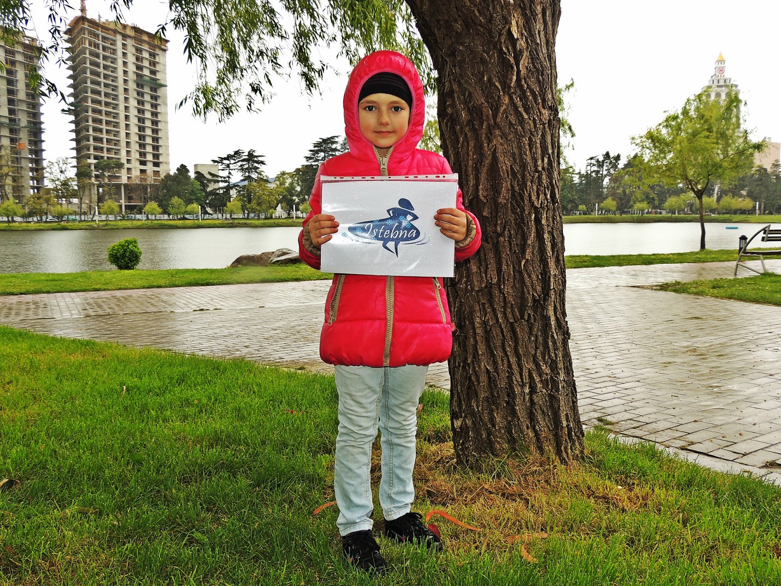
Nie tylko u nas deszczowo.

Prezentujemy fotki z gruzińskiego miasteczka Batumi położonego nad Morzem Czarnym, w południowo-zachodniej części kraju.


Not only in our country rainy. 

We present photos from the Georgian city of Batumi located at the Black Sea in the south-western part of the country.


Przysłane przez:
Sent by: